Indonesia’s Banda Sea experienced a series of seismic events on Wednesday, with a magnitude 6.7 earthquake occurring, as reported by the United States Geological Survey (USGS). This followed a stronger tremor that hit the region earlier. Fortunately, there have been no immediate reports of damage or casualties resulting from these earthquakes.
The USGS revealed that the shallow earthquake, located far from the coast, took place at 8:02 pm local time (1302 GMT). Importantly, no tsunami warning has been issued in response to these seismic activities.
Daryono, an official at Indonesia’s Meteorological, Climatological and Geophysical Agency (BMKG), explained that the second earthquake was one of 23 aftershocks following the initial event. He added that “modelling results showed that this quake does not have potential to cause a tsunami,” providing some relief to residents and authorities.
The earlier earthquake had a magnitude of 7.1 and occurred at 11:53 am local time. It was moderately felt in the town of Saumlaki in the Tanimbar Islands of the Indonesian archipelago, according to BMKG.
Saumlaki resident Lambert Tatang shared that “the earthquake was quite intense. But the people here were not panicking. We are used to having earthquakes.” He added that once it was confirmed there was no tsunami threat, life returned to normal for the local community.
Indonesia is situated within the Pacific “Ring of Fire,” an area known for intense seismic activity. This ring extends from Japan through Southeast Asia and across the Pacific basin. As a result, Indonesia regularly experiences earthquakes and volcanic eruptions.
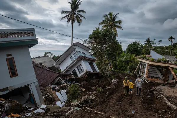
In November of the previous year, a shallow 5.6 magnitude earthquake struck the populous West Java province, leading to the unfortunate loss of 602 lives. In 2004, a devastating 9.1 magnitude quake off the coast of Sumatra triggered a tsunami that claimed the lives of 220,000 people across the region, with approximately 170,000 fatalities in Indonesia alone.


